|
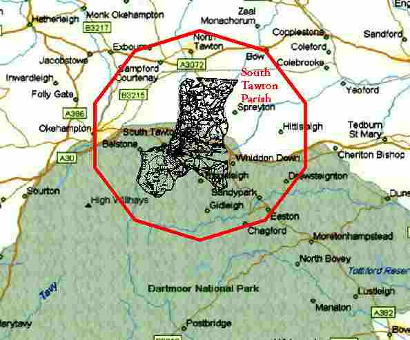
Any one of our villages is ideally placed for exploring the whole of the West Country, as our location is very central, and on the main A30 trunk route from (London to Exeter M5 motorway) Exeter to Penzance. We are situated in the middle of the triangle of Exeter (25 minutes), Plymouth (40 minutes) and Newquay (60 minutes) airports. We can also be reached by sea from Plymouth.
With 365 square miles of Dartmoor to enjoy, why would you want to go further afield? You might, of course, want the sea - you can have it - North to Ilfracombe, Clovelly, Westward Ho, Lynton & Porlock ; West to Bude, Padstow & Newquay; South to Exmouth, Torquay, Dartmouth & Looe. Any one of these could be reached by 10 a.m. after a good Dartmoor breakfast.
Maybe you want world class attractions? Buckfast Abbey, The Eden Project, The National Maritime Aquarium, Lundy Island, Exeter Cathedral, Tintagel Castle and hundreds more are all easily within reach.
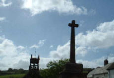
And, best of all, after your day out on the moor, in the sea or at the castle, you can come back to the welcoming atmosphere of our local inns, pubs and hotels for a good meal and some friendly conversation before retiring to bed. And if, tomorrow, you don’t want to do anything at all, then you couldn’t find a better place to do it!
|